Portail National des Ressources et des Savoirs

Innovation

Technologies

PNRS Actualité, 14/02/2025 08:22 Modifié le 14/02/2025 08:24
SERSing project : Chemical threats protection device
The EU-funded SERSing project has developed a portable low-concentration liquid chemical hazard detection device. This device combines Raman spectroscopy (SR) with an advanced method called SERS (Surface Enhanced Raman Spectroscopy), and artificial intelligence (AI).
PNRS Actualité, 03/02/2025 11:20
Europe floods : new tool to estimate water depth and extent
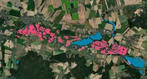
The scientists of the Joint Research Centre (JCR) have developed a new tool to estimate flood water depth and improve the accuracy of flood maps, the FLEXTH: “Flood extent enhancement and water depth estimation tool”.
PNRS Actualité, 24/01/2025 08:52
Use of satellite-based sea level monitoring to anticipate storms and protect coastal areas
Satellite-based sea level monitoring has emerged as an effective method to anticipate storms and protect coastal areas. A team of scientists from the Joint Research Centre (JCR), CEDEFOP, LEGOS (France) and USC (USA) has developed a global model combining satellite data and local atmospheric conditions to improve sea-level forecasts. This model responds to an urgent need due to the intensification of natural disasters caused by global warming.
PNRS Actualité, 12/03/2024 10:07 Modifié le 12/03/2024 10:08
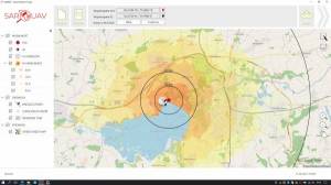
SARUAV - software for AI-based aerial photo analysis in SAR missions / missing person mobility simulation / SAR mission coordination
General description: The software was developed by a small polish company: SARUAV sp. z o.o. The head of the project is prof. Tomasz Niedzielski (tomasz.niedzielski@saruav.pl) It's a university project spinoff that has been developed in cooperation with a number of active SAR/firefighting units in Poland (for example OPS JRG Jarogniewice, GOPR Grupa Jurajska, OSP JRS SAR Głogów and others). It is fully implemented and tested. SARUAV is currently commercially available and in use by several Search and Rescue (SAR) units in Poland. The software drastically increases the efficacy of using drones equipped with visible light cameras in SAR operations. It is compatible across many (26 at this time) platforms.
PNRS Actualité, 27/02/2024 16:04 Modifié le 27/02/2024 16:06
vieWTerra Evolution
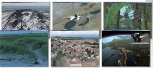
vieWTerra Evolution is a joint "GIS & Simulation" 4D Earth Viewer platform which can be used as very cognitive and immersive combined 3D/2D visualization tool in support of any potential crisis and relief operations on Earth (fires, floods, earthquakes, landslides, tsunamis, droughts, epidemics etc).
PNRS Actualité, 05/02/2024 08:48 Modifié le 05/02/2024 09:15
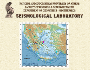
Real time earthquake shaking maps for Greece
The main concept of the technological tool is to create Peak Ground Acceleration Maps (Linear and rotational) in real-time in a few seconds up to two minutes after the earthquake occurrence and automatic calculation of its main parameters (earthquake epicenter, magnitude, focal depth and origin date & time). Peak ground acceleration (PGA) and peak ground rotations (PGR) are provided for research and operational purposes to respective bodies and to the general public. PGA and PGR are calculated through regional models calibrated for Greece and data from stations.
PNRS Projet, 15/01/2024 10:26