

Vous souhaitez contribuer à cette communauté et partager vos connaissances, vos travaux avec les lecteurs du PNRS ? Que vous soyez universitaires, étudiants, sapeurs-pompiers professionnels ou volontaires, agents administratifs, techniques ou spécialisés, venez participer à la démarche de mutualisation des connaissances et compétences et envoyez-nous vos contributions.
▼ Lire la suite
Votre avis en tant qu'utilisateurs nous sont très précieux : ils nous aident à adapter notre site et nos services en fonction de vos attentes.
Accéder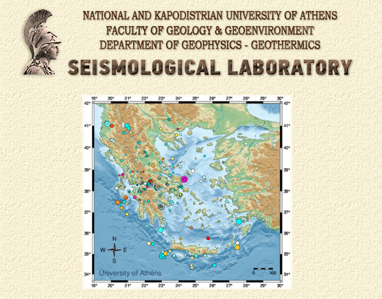
The main concept of the technological tool is to create Peak Ground Acceleration Maps (Linear and rotational) in real-time in a few seconds up to two minutes after the earthquake occurrence and automatic calculation of its main parameters (earthquake epicenter, magnitude, focal depth and origin date & time). Peak ground acceleration (PGA) and peak ground rotations (PGR) are provided for research and operational purposes to respective bodies and to the general public. PGA and PGR are calculated through regional models calibrated for Greece and data from stations.
The system is unique in terms of calculating PGR worldwide. In addition, the version currently running presents the results in vector format, has multiple options as basemap and multiple regional models embedded. The system works 24/7/365. Technical and scientific details are provided in the following sections. These maps may serve for the real-time delineation of the potentially damage area. This, coupled with population exposure and vulnerability of buildings and infrastructure, will provide a quick estimate of the overall expected damage, as well as of the necessary first response operations.
Description of the solution:
The Seismological Laboratory of the National and Kapodistrian University of Athens (SL-NKUA, http://www.geophysics.geol.uoa.gr/) monitors on real-time basis the seismicity in Greece, based on the recordings of the Hellenic Unified Seismological Network (HUSN). In the framework of constant upgrade of the seismicity monitoring and the innovation spirit that characterizes the National and Kapodisitran University of Athens has developed its own application for ground shaking maps, the Real-time Shaking Maps (Sakkas et al. 2018, Sakkas et al., 2019), publicly available in the following address: http://macroseismology.geol.uoa.gr/realtime/. This application is used in addition other similar applications (e.g. ShakeMaps).
Since 2015 (first version) in the framework of the “Greco-Risks - Hellenic Natural-Hazards Risk-Management System of Systems” project. The work of constant upgrade continues under the framework of the HELPOS research project. Currently, in its latest version, calculates and creates ground shaking maps of Peak Ground Acceleration (PGA) and Peak Ground Rotations (PGR) based on Ground Motion Prediction Equations (GMPEs) for Greece. Shaking maps are created and published online for earthquakes with magnitudes M≥3.8. For shallow earthquakes five regional GMPEs are used for the calculation of PGA and one GMPE for the rotational components (torsion and rocking). Regional GMPES are calibrated with Hellenic earthquakes. The algorithm estimates the fault type (normal, thrust, strike-slip) of the earthquake based on the Hellenic seismicity and tectonic zones on real-time. Soil types (rock, stiff soil, soft soil) are known based on the geotechnical map of Greece.
The innovation of the algorithm is that PGR are calculated for the first time worldwide and the output maps are in a vector map. Currently, for reducing computing effort the grid calculates PGA and PGR in distances up to 100km around the earthquake epicenter in a grid of about 4.5km X 4.5km. The algorithm is written in Matlab. RSS standards are used. Results are updated every 1 (one) minute. The algorithm is in operational mode for about five years and has proved a valuable tool.
The latest upgrade was the interoperability with other infrastructure of NKUA and can read the recordings of the seismological stations. The user can zoom in and out the map and click on a specific grid point or a seismological station in order to see the exact value of PGA and PGR. Also, the user can select from multiple regional seismic models. Outputs are provided in html format, readable by any computer with a simple browser, compatible with all famous web browsers.
TRL of the solution: 9 - System Test, Launch & Operations
Web address: Real-time shaking maps for Greece
Expected/scheduled future developments: In the future, more information will be provided, such as spectral acceleration, macroseismic intensity, population affected and land use (urban-rural areas) and national heritage sites. The notification e-mail service is also under development. Manual update. Upgrade of the algorithm for use in various programming languages. Provide outputs in other formats. Provide denser grids, more detailed soil type and faulting mechanisms.
For further details contact: Vassiliki Kouskouna, vkouskouna@geol.uoa.gr or Georgios Sakkas, sakkasg@geol.uoa.gr
Vasiliki Kouskouna, National and Kapodistrian University of Athens
Fichiers associés :

 Retour